Location
The paper map
and atlas collections are located on the first floor of McLaughlin Library,
and consist of maps, atlases, gazetteers, indexes, cartobibliographies,
material accompanying maps, and cartographic journals. Thematic or
subject-oriented map coverage is available for most countries. Geographic
areas of specialization include Guelph, Southern Ontario, Canada, United
States, Europe, and the Far East. Subjects include agriculture, climatology,
economics, geology, history, hydrology, land use, population, soils,
topography, and transportation. Two special collections are the Canadian
Fire Insurance Maps and the Melby Collection of World War II maps for the
Pacific area. The Melby Collection is located at the Annex, as are Fire
Insurance Maps for provinces except Ontario.
Note:
Maps and atlases have been moved to the
Government Publications section in the lower level. The floor map found at
the web address below shows you where on the floor the maps are located (red
box)
http://www2.lib.uoguelph.ca/services/where_is_it/index.cfmfuseaction=whereIs.show&floor=0&locn=maps
and the atlases are located near to hand ...
http://www2.lib.uoguelph.ca/services/where_is_it/index.cfmfuseaction=whereIs.show&floor=0&locn=colatlas
Circulation
Maps and
atlases may be charged out for use during seminars, lectures, or in other
special circumstances. The length of loan period (usually the same day) will
be governed by individual circumstances. Requests for loans of cartographic
material must be made at the Reference desk on the 1st floor
during regular reference hours. Maps located in Government Publications are
signed out by staff at the Government Publications & Data Resource Centre
Reference desk.
Hours of
Service
The map
collection is accessible whenever the Library is open. Assistance in using
cartographic material may be obtained during regular reference hours at the
Reference desk on the 1st floor. Note:
The Government Documents reference desk has
shorter hours than the main reference desk, so people can ask for help from
it from 10 - 4:30 Monday to Friday, but if they are coming in at other
times, they will have to ask for help from the 1st floor ref desk.
How to
Locate Maps in the Collection
Maps can be
located through TRELLIS by setting search limits and searching in Title,
Author (i.e. corporate author), Subject, Call Number, or Keyword. Click on
“All Search Limits” and select “map” as the medium and/or item type. Click
“Set Limits”. Also try “Combining Keywords” using the place name and “map”
or “maps”. Maps accompanying government publications are found in the
Government Publications Section, not in the map collection (e.g. Soil
maps of Ontario which accompany Ontario Soil Survey Reports are in map
cabinets in the basement.)
MAPS IN SERIES
A map series is a specific
number of maps for one subject or theme. Maps belonging to a series all have
the same call number and can be found in the corresponding drawer, usually
by sheet number. For example, in the Canadian National Topographic (NTS)
series, a Guelph map at a scale of 1:50,000 is identified as 40P/9 from the
index sheet. The sheet number for Canadian topographic maps can also be
found using the Gazetteer of Canada. The map is found by looking for the
number 40P/9 in the map drawer with the topographic maps at that scale.
Topographic Maps
Canada
1:
50,000
1st
floor G 3401 C1 1950-
1: 25,000
(holdings incomplete) 1st
floor G 3401 C1 1910-
1: 125,000
(holdings incomplete) 1st
floor G 3401 C1 1914-
1:
250,000 1st
floor G 3401 C1 1926-
1: 500,000
(holdings incomplete) 1st
floor G 3401 C1 1931-
United States
1: 24,000
(holdings
incomplete) 1st
floor G 3701 C1 1892-
1: 250,000
(holdings incomplete)
1st floor G 3701 C1 1947-
Great Britain Ordnance
Survey
1:
50,000
1st
floor G 5741 C1 1974-
OTHER FREQUENTLY USED MAPS
Bedrock Geology of
Ontario. (5
sheets) 1st floor
G 3461 C515 1991
Canadian Fire
Insurance Maps. (other
than Ontario) Annex G 3401 G475 1875-
Canadian Nautical
Chart Series. 1st
floor G 3401 P512 1908-
Geological Maps
Series. 1st
floor G 3461 C5 1891-
Guelph
Maps. 1st
floor G 3464 G84
Ontario Base Maps
1:10,000. (paper &
microfiche) 1st floor G 3461 A1
1980-
Ontario Fire
Insurance Maps. (do
not circulate) 1st
floor G 3401 G475 1875-
Ontario Road
Maps.
1st
floor G 3461 P2
Ontario Soil Survey
Maps. Gov
Pubs CA1 DA39 …..
Ontario White Print
County and District Road Map Series. 1st
floor G 3461 P2 1946-
(shows lot and
concession numbers)
GOVERNMENT PUBLICATIONS
The Government
Publications area contains publications from all levels of government;
technical, research and annual reports; University of Guelph theses; and
publications from international organizations.
ATLASES
Atlases are also located
using the TRELLIS library catalogue. They can be accessed by using the word
“atlas” in a Combining Keyword search, or searching in Title, Author,
Subject, Call Number, or Keyword. Oversized atlases are located on the atlas
stands adjacent to the windows. Regular sized atlases are located on shelves
to the left of the map collection. Atlases which are part of Government
Publications, e.g. Climatological Atlas of Canada, or the World Bank Atlas
are coded and located on the lower level of the McLaughlin Library.
Ontario Atlas Series
(MapArt).
Eastern & Northern
Ontario.
(SocDesk) 1st floor G
1147 E38 M36 1999
Golden Horseshoe. (SocDesk)
1st floor G 1147 G65 M36 2001
Western Ontario.
(SocDesk) 1st
floor G 1147 W47 M36 2001
Oxford Atlas of the
World.
(Atlasstk) 1st floor G
1021 O94 1999
Rand McNally Road
Atlas: Canada, United States, Mexico.
(SocDesk)
1st floor G 1201 P2 R347 2000
GAZETTEERS & CARTOGRAPHIC
MATERIAL
Gazetteers, cartographic
reference material, and material accompanying maps are shelved on the atlas
stands. Historical gazetteers, other relevant reference material, and
abstracts and indexes are shelved in the Reference section on the 1st
floor.
Canadian Fire
Insurance Plans in Ontario Collections, 1876-1973.
1st floor HG 9781 F65
(MapRef)
Chambers World
Gazetteer .
(SocDesk) 1st floor Ref G 103.5
C44 1988
Concise Gazetteer of
Canada.
(SocDesk) 1st floor Ref CA1 MS11
C15
Fire Insurance Plans
in the National Map Collection.
(MapRef) 1st floor CA1 AK40 77F33
Gazetteer of
Canada—Ontario.
(SocDesk) 1st floor Ref CA1
MS11 O55
Practical Handbook
of Digital Mapping: Terms and Concepts. 1st
floor Ref GA 139 P73
(SocRef)
INTERNET RESOURCES
Atlapedia Online.
http://www.atlapedia.com/
Canadian Soil
Information System.
http://sis.agr.gc.ca/cansis/
Canadian Topographic
Maps.
http://maps.NRCan.gc.ca/main_e.html
Geographical Names
of Canada.
http://GeoNames.nrcan.gc.ca/
National Atlas of
Canada.
http://atlas.gc.ca/english/index.html
National Atlas of
the United States.
http://www-atlas.usgs.gov/
Natural Resources
Canada Toporama.
http://toporama.cits.rncan.gc.ca/En/index.html
Official Road Map of
Ontario Online.
http://www.mto.gov.on.ca/english/traveller/map/
Soil Surveys of Ontario by
County.
http://sis.agr.gc.ca/pls/meta/owa/soil_survey_geographic.display?soilkeys=ON&p_lang=en
USGS – U.S.
Geological Survey.
http://www.usgs.gov/
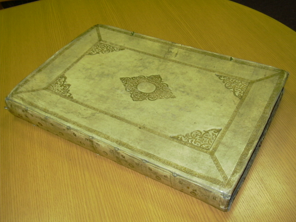
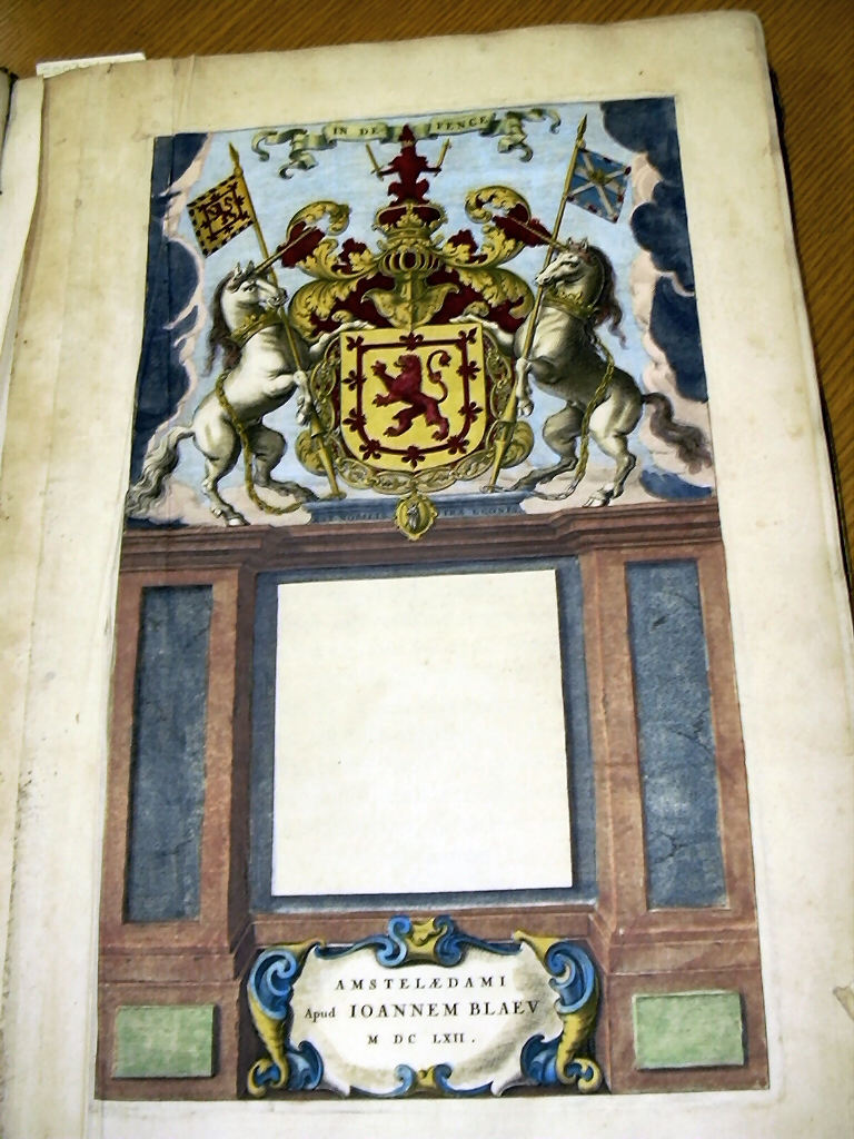
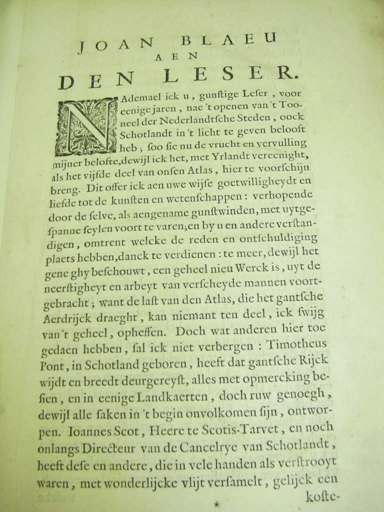
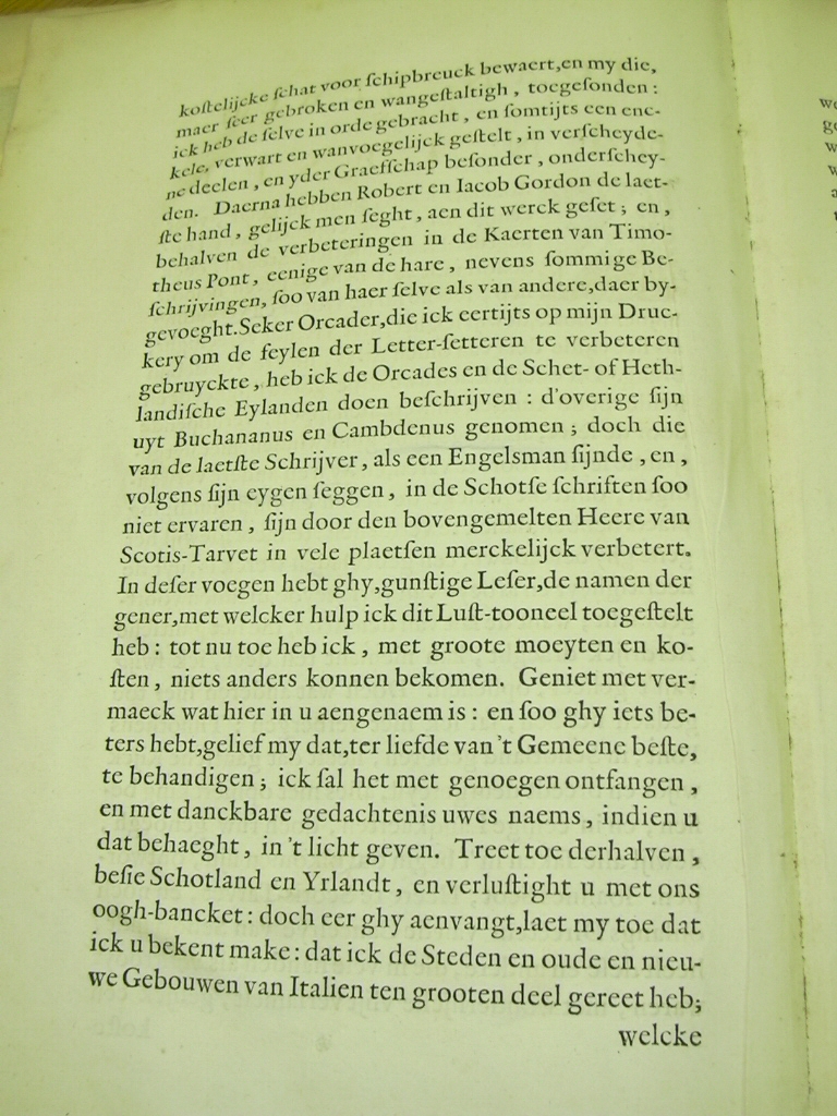
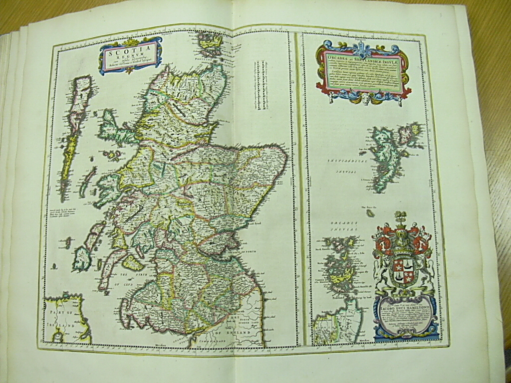
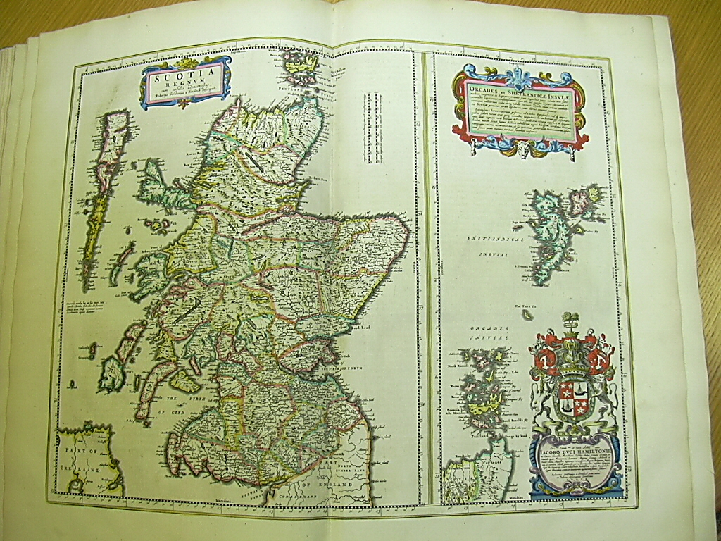
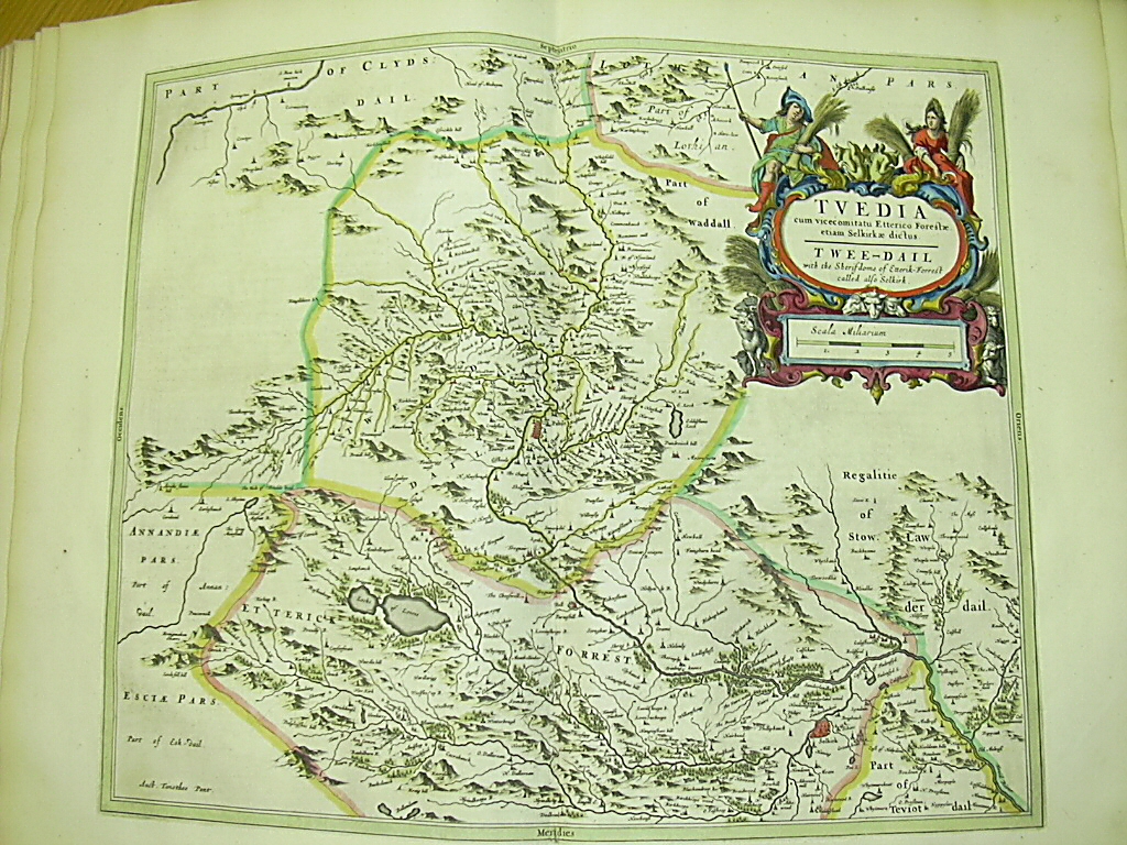
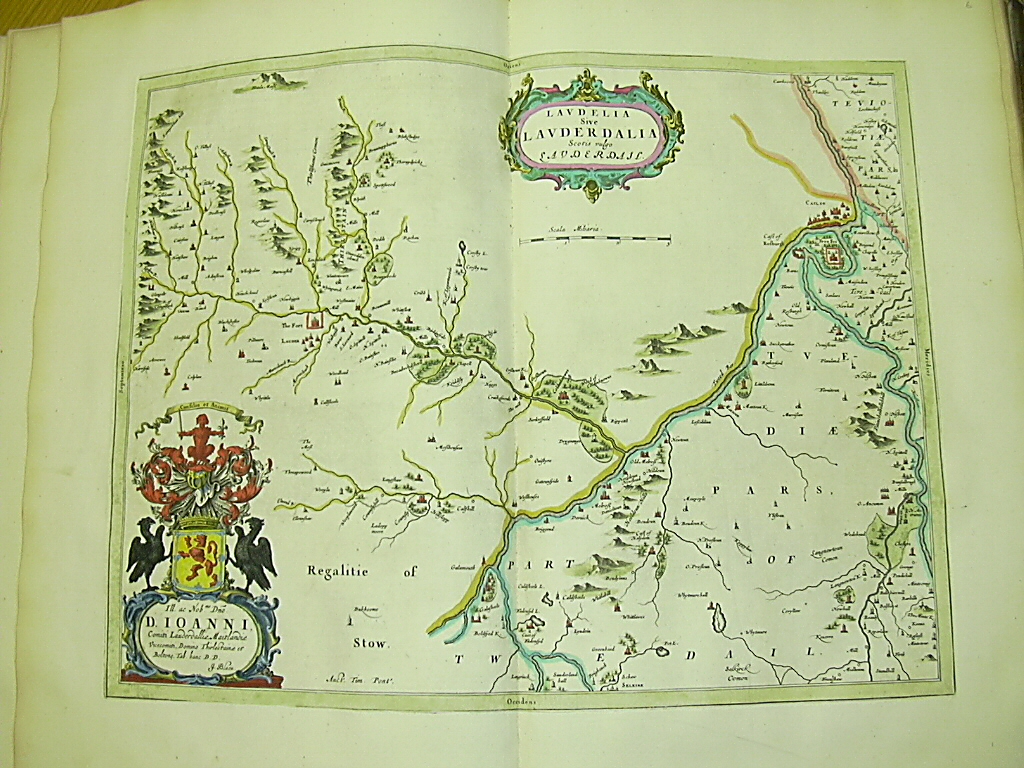
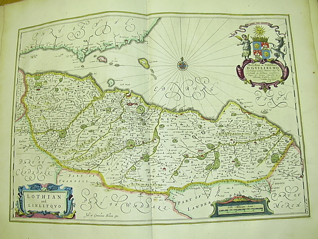
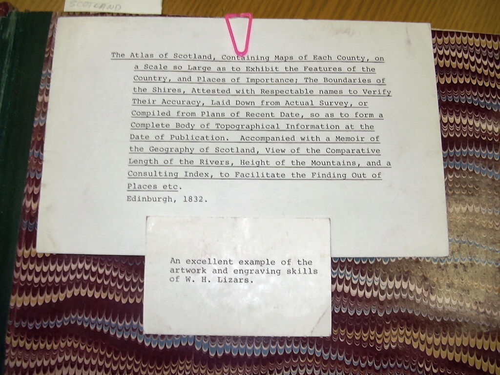
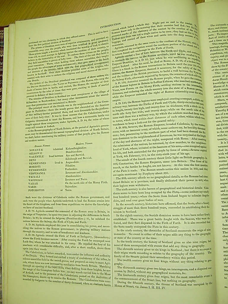
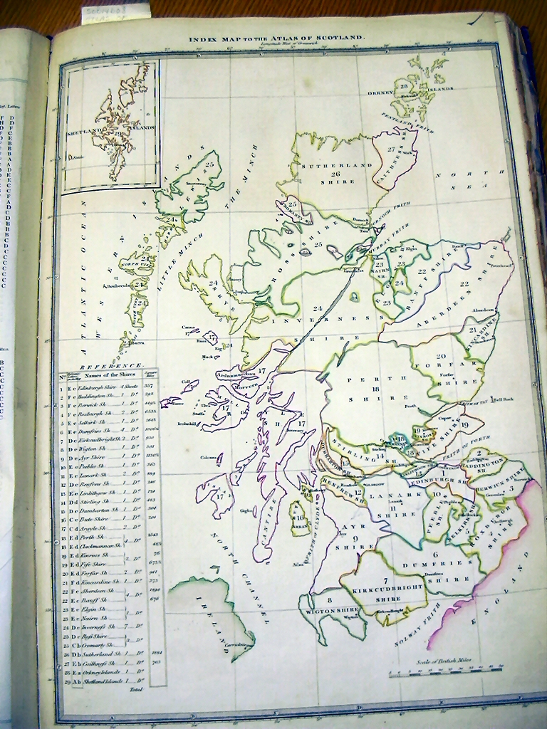
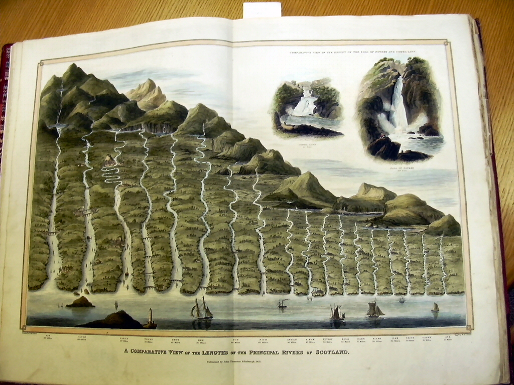
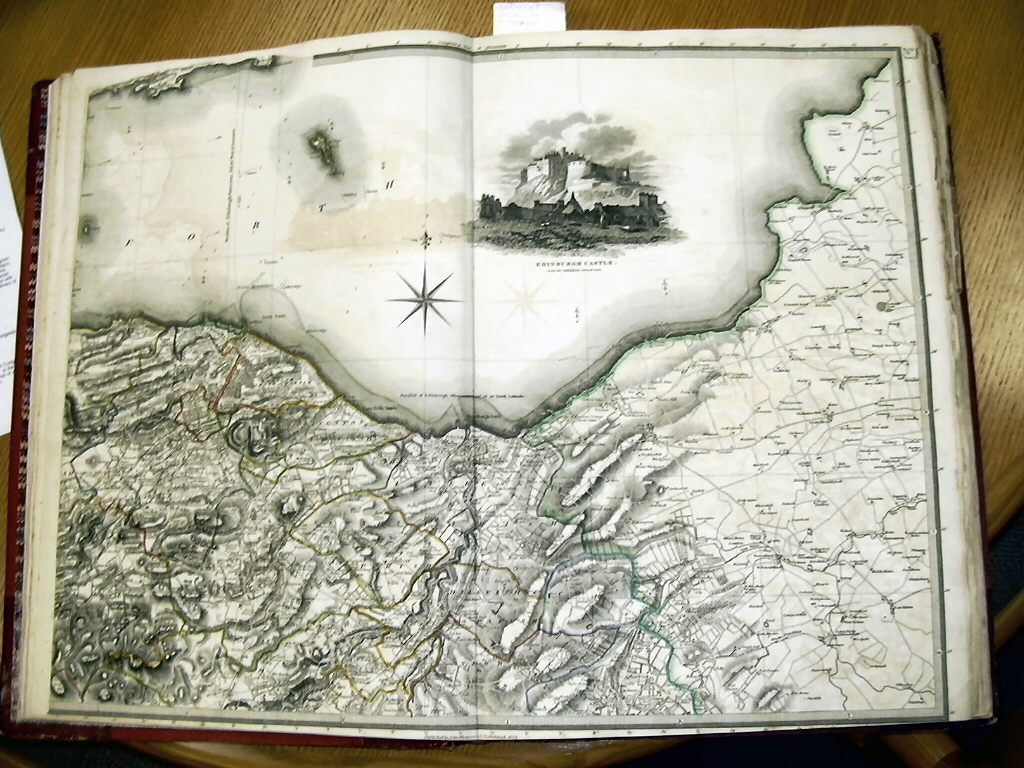
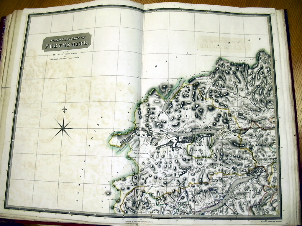
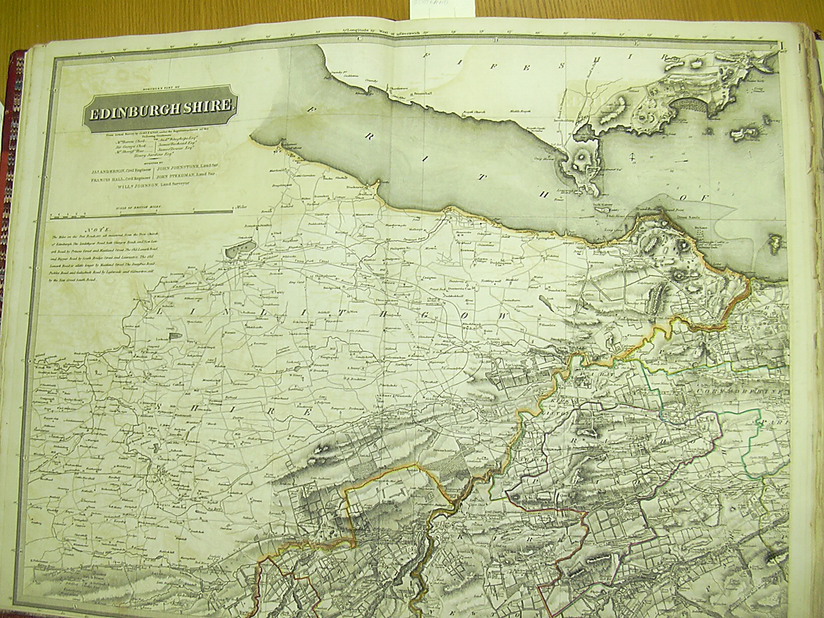
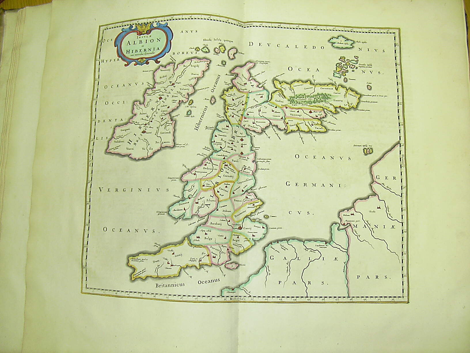
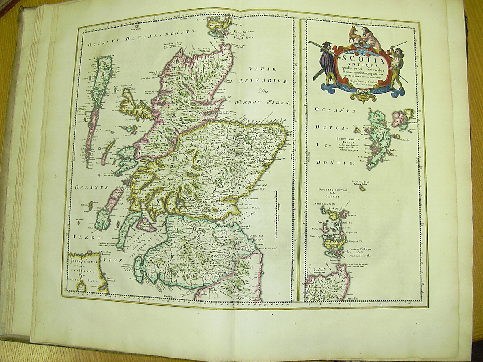
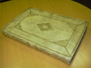
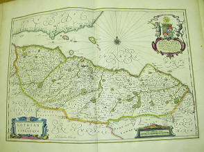
Fabulous collection of old maps here. I
was told that one of the visitors to the collection found a village they had
been trying to locate for ages and there were whoops of delight from them at
the time. Essentially the village no longer exists but this antiquarian maps
resource came up trumps. So here are some pictures of just a couple of
the maps available.
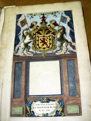
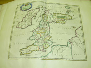

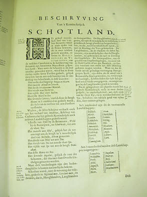
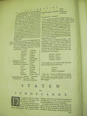
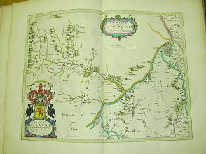
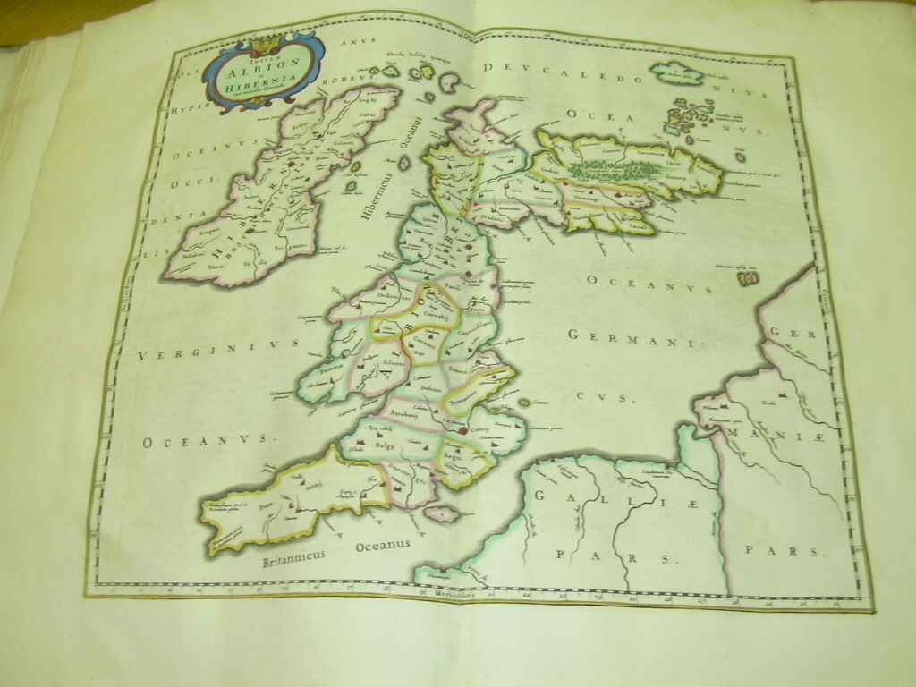
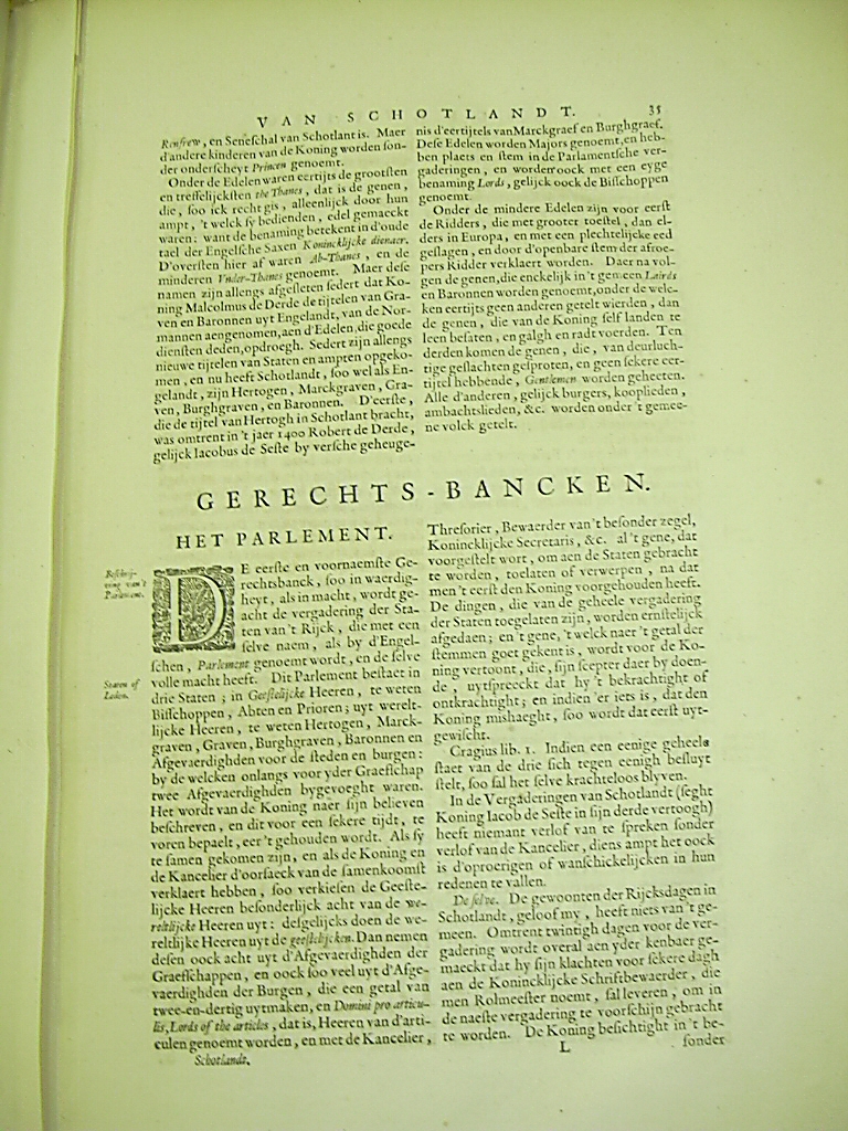
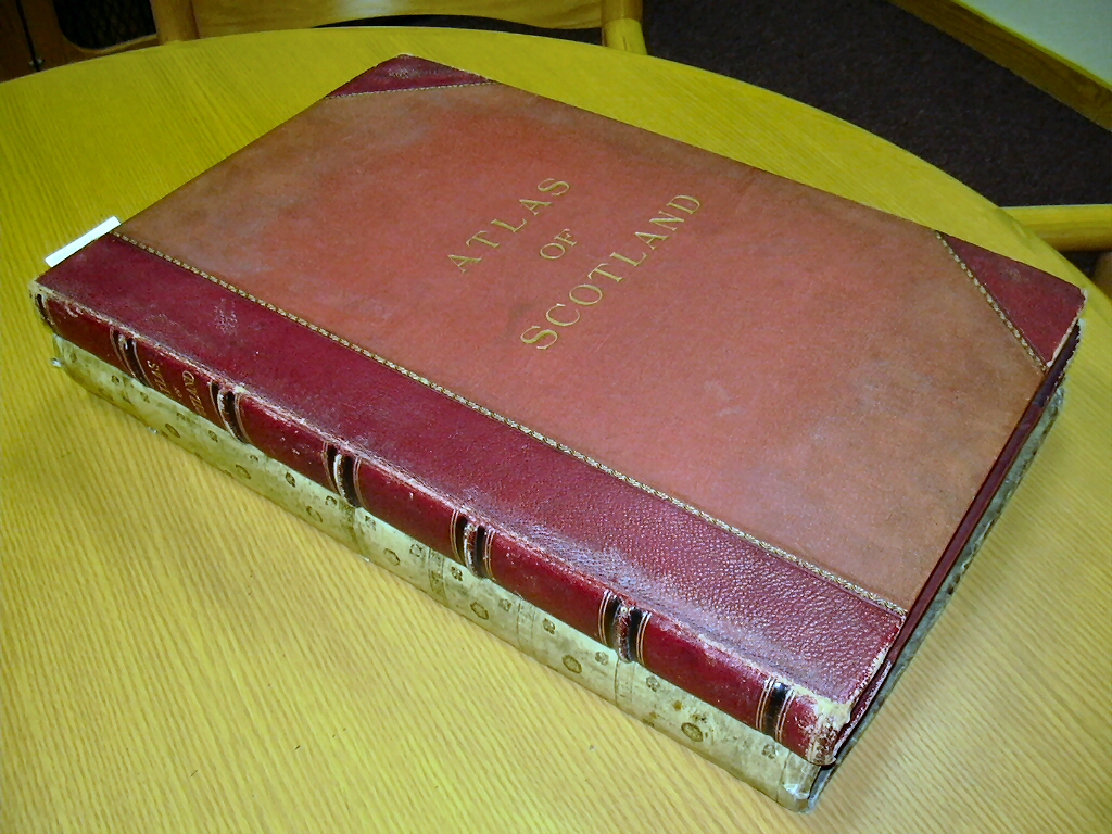
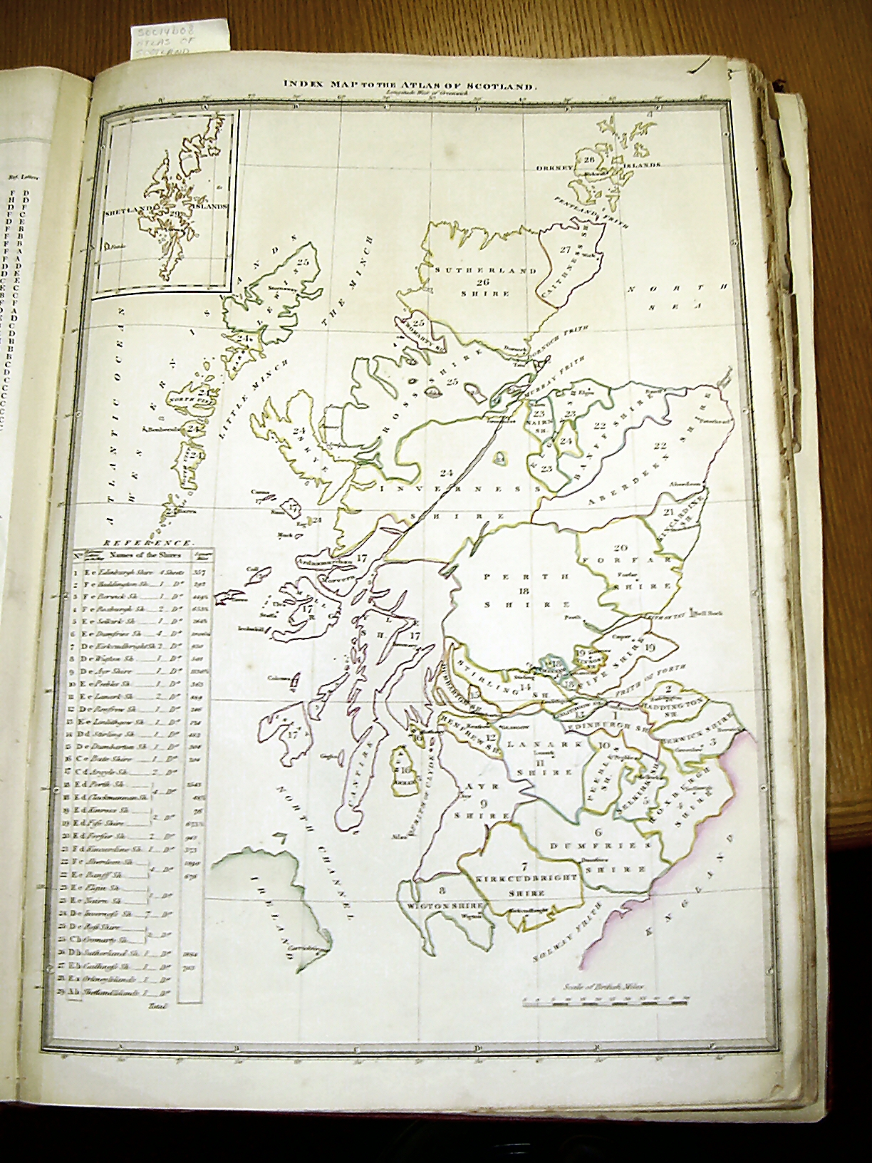
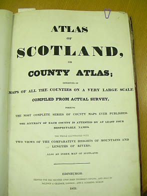
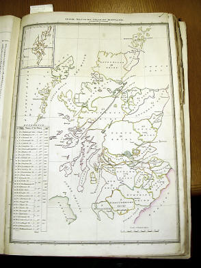
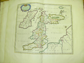
So this is the oldest map of Scotland at the
library
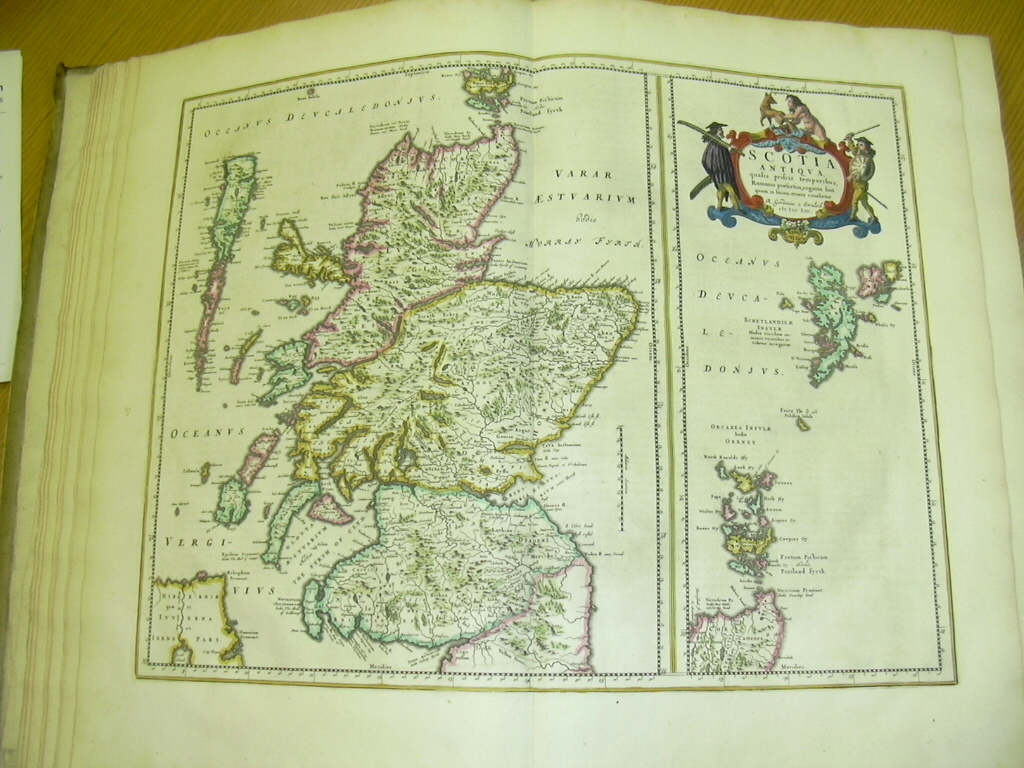
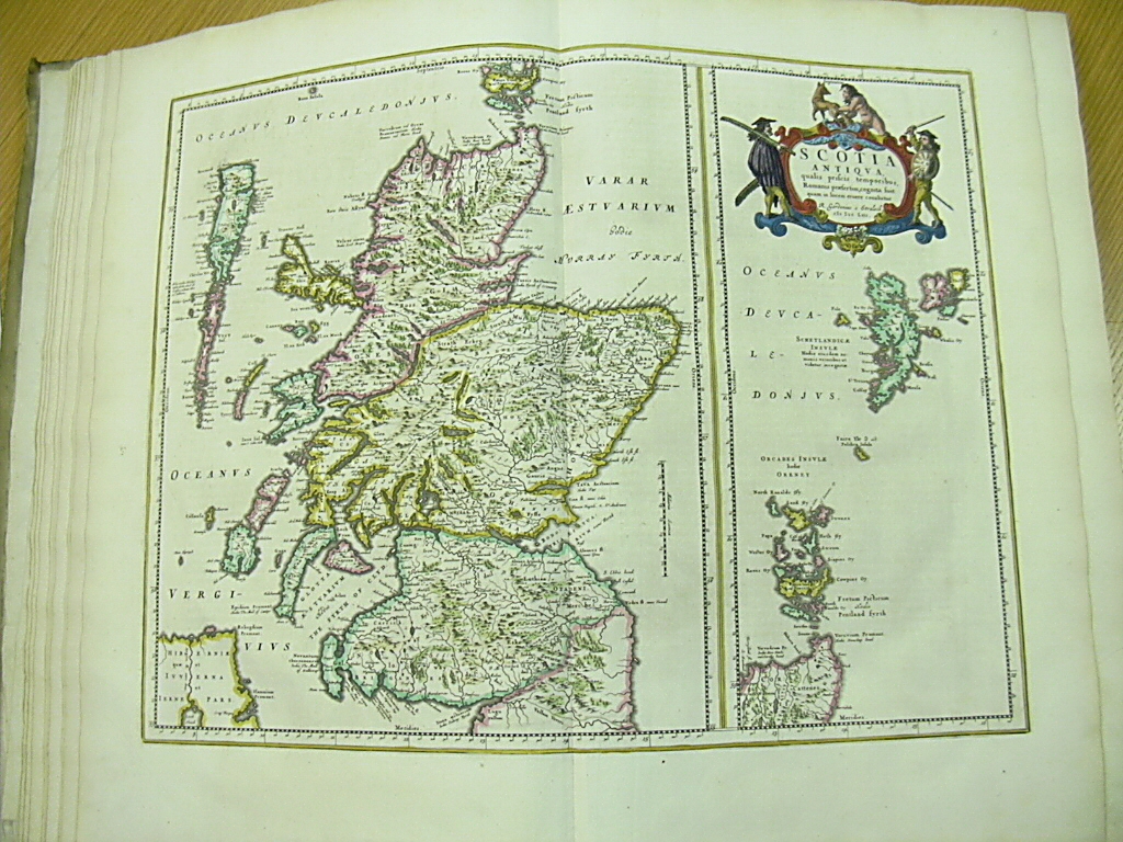
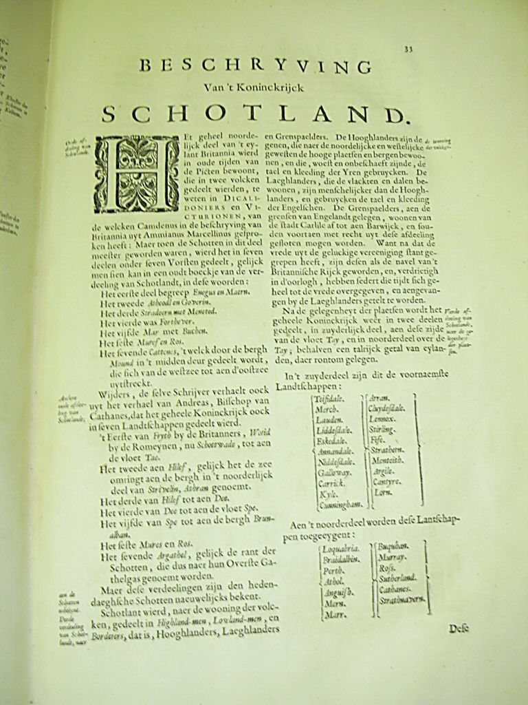
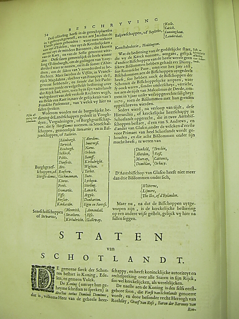
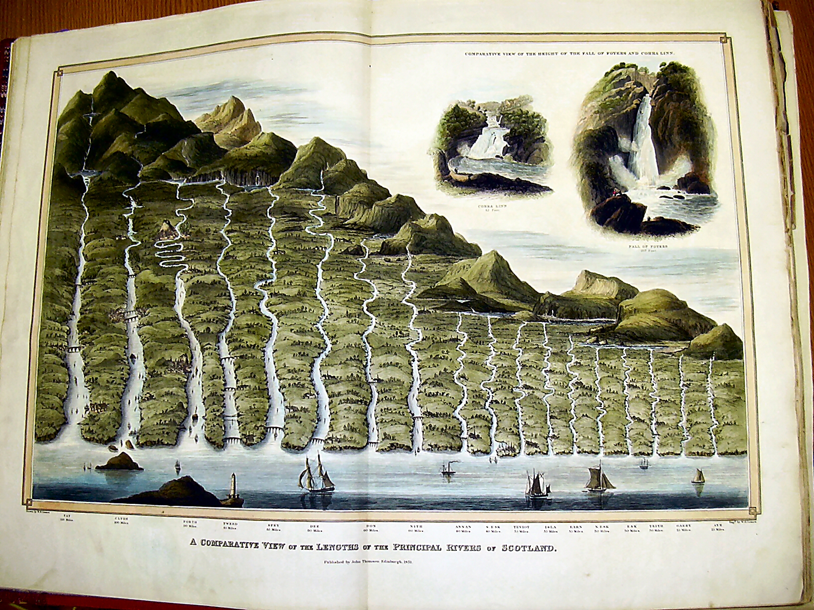
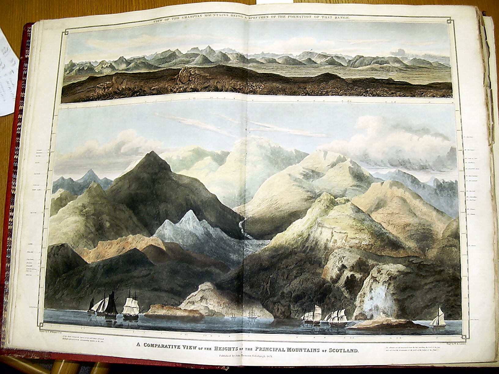
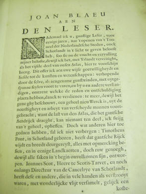
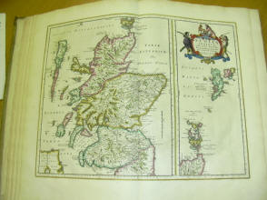
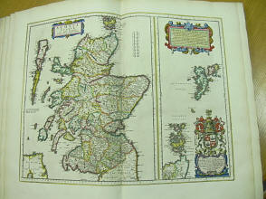
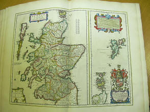
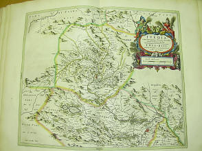
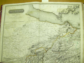
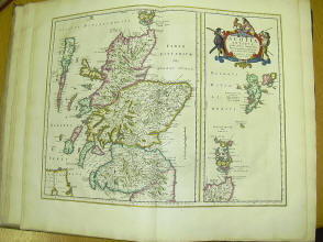
And here is another old atlas
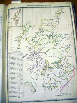
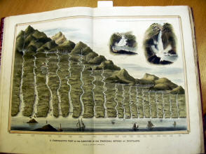
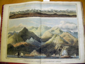
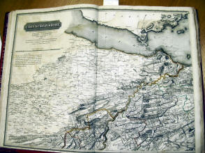

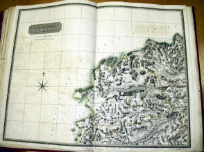
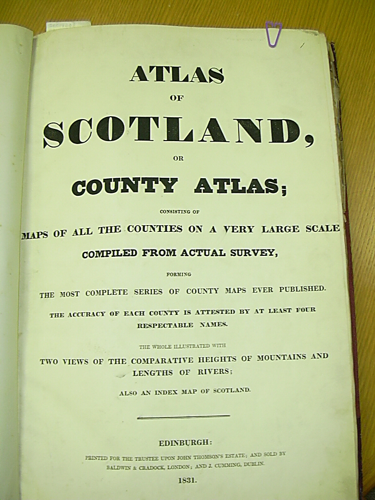
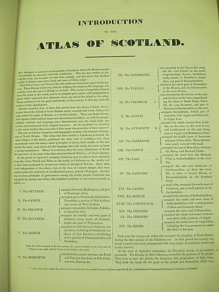
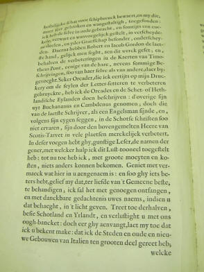
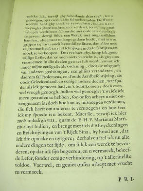
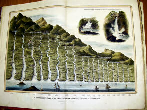
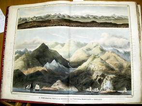
I took a few larger scans of a few of the above
maps trying to give you a bit more detail
 |